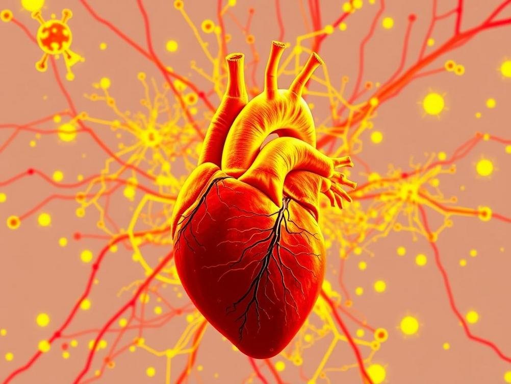
Unlocking Heart Health Secrets: How Emerging AI Tools Are Mapping Cardiovascular Risks with Geospatial Magic
Unlocking Heart Health Secrets: How Emerging AI Tools Are Mapping Cardiovascular Risks with Geospatial Magic
Hey there, folks! Picture this: You’re scrolling through your phone, checking the weather app to see if it’s gonna rain on your parade, and bam— what if you could do the same for your heart health? Not just a generic ‘eat more veggies’ reminder, but a pinpointed map showing how your neighborhood’s air quality or that sketchy fast-food joint down the block is upping your cardiovascular risks. Sounds like sci-fi, right? Well, welcome to the wild world of emerging AI tools that are geospatially resolving cardiovascular risks. These bad boys aren’t just crunching numbers; they’re blending big data with location smarts to give us a hyper-local view of heart disease threats. As someone who’s dodged a few health scares myself (thanks, family genes), I get super excited about tech that makes prevention feel less like a chore and more like a treasure hunt. In this post, we’ll dive into what this all means, spotlight some cool tools on the rise, and chat about why it’s a game-changer for folks like you and me. Buckle up—it’s time to geek out on how AI is turning maps into lifesavers. And hey, if you’re sipping on that third coffee while reading, maybe think about what your local caffeine hotspots are doing to your ticker!
What Exactly Is Geospatially Resolved Cardiovascular Risk?
Okay, let’s break this down without getting too jargony. Geospatially resolved cardiovascular risk basically means looking at heart disease dangers through a lens that factors in where you live, work, and play. It’s not just about your cholesterol levels or if you hit the gym—it’s about the bigger picture, like pollution levels in your zip code, access to green spaces, or even socioeconomic vibes in your area. Traditional risk assessments? They’re like those old-school maps that just show you the roads. But this geospatial stuff? It’s Google Maps on steroids, zooming in on environmental and social factors that sneakily influence your heart health.
Think about it: In a bustling city, someone in a smoggy industrial zone might have a way higher risk than a suburbanite with parks galore. AI tools are stepping in to connect these dots, using satellite data, health records, and even social media trends to create detailed risk maps. It’s fascinating because it highlights inequalities—why some neighborhoods are heart attack hotspots while others are chill zones. I’ve seen studies where researchers mapped out risks in places like New York, and it’s eye-opening how a few blocks can make a huge difference.
And get this: It’s not all doom and gloom. By resolving these risks geospatially, we’re empowering communities to fight back. Local governments could use this info to plant more trees or improve public transport, indirectly saving hearts. Pretty cool, huh?
How AI Is Revolutionizing This Field
AI isn’t just for cat videos or beating you at chess anymore—it’s diving deep into health tech with gusto. These emerging tools use machine learning to sift through mountains of data, spotting patterns that humans might miss. For instance, algorithms can analyze satellite imagery to gauge air quality and correlate it with hospital admissions for heart issues. It’s like having a super-smart detective on the case, piecing together clues from the environment and our daily lives.
One fun twist? Some AI models incorporate wearable data from fitness trackers. Imagine your smartwatch feeding info into a system that warns you if your route home through a polluted area is spiking your risk. I’ve tried a few fitness apps myself, and while they’re great for steps, adding geospatial AI could turn them into personal health guardians. Plus, with natural language processing, these tools can even pull insights from news articles or social feeds about local events affecting health—like a factory shutdown reducing pollution.
But let’s not forget the humor in it: If AI starts predicting heart risks based on how many pizza places are in your vicinity, I might have to move! Seriously though, this tech is making predictions more accurate and actionable, potentially reducing healthcare costs by focusing on prevention where it matters most.
Top Emerging AI Tools Making Waves
Alright, let’s spotlight some stars in this arena. First up is something like Google’s Environmental Insights Explorer, which, while not exclusively for health, integrates AI to map urban environments and could extend to risk assessment. But for heart-specific stuff, tools like those from IBM Watson Health are evolving to include geospatial analytics, crunching EHR data with location intel.
Another gem is the AI-powered platform from startups like Atmo, which uses hyper-local weather and pollution data. Imagine combining that with cardiovascular models—bam, you’ve got a tool that forecasts risks like a meteorologist does storms. I’ve poked around their site (check it out at atmo.ai), and it’s impressive how they’re using AI to make air quality predictions that could tie into health apps.
Don’t sleep on open-source gems either. Projects on GitHub are popping up where devs are building models using TensorFlow to map risks. For example:
- GeoHealth AI: Focuses on integrating GIS with machine learning for disease mapping.
- CardioMap: A conceptual tool that overlays heart data on maps for predictive analytics.
- PolluHeart: Tracks pollution’s impact on cardiovascular events in real-time.
These are still emerging, but they’re democratizing access, letting even small clinics get in on the action.
Real-World Applications and Success Stories
Let’s get real with some examples. In the UK, researchers used AI geospatial tools to map cardiovascular risks in London, revealing how low-income areas with poor air quality had skyrocketing rates. This led to targeted interventions, like better public transport to cut emissions. It’s not just data—it’s saving lives by informing policy.
Over in the US, a study in California employed AI to analyze wildfire smoke’s impact on heart health, using geospatial resolution to pinpoint affected zones. Hospitals in those areas ramped up preparations, reducing emergency visits. I remember reading about it during those crazy fire seasons—AI basically acted like an early warning system for hearts under siege.
And for a chuckle: Imagine an app that gamifies this, giving you points for avoiding high-risk zones. ‘Congrats, you dodged the donut district—your heart thanks you!’ On a serious note, apps like these are being piloted in apps connected to Apple Health or Google Fit, blending personal data with geospatial insights for tailored advice.
Challenges We Can’t Ignore
Of course, nothing’s perfect. Privacy is a biggie— with all this data flying around, who’s watching the watchers? AI tools need to handle sensitive health and location info carefully to avoid breaches. It’s like trusting your nosy neighbor with your diary; you want safeguards!
Accuracy can be tricky too. If the data’s biased—say, more from urban areas than rural— the maps could skew risks unfairly. Plus, not everyone has access to fancy wearables or high-speed internet, so there’s a digital divide. I’ve chatted with friends in remote spots who feel left out of these tech advances, and it’s a valid point.
Ethically, we gotta ask: Who owns this data, and how do we ensure it’s used for good? Regulations like GDPR are stepping in, but as AI evolves, so do the headaches. Still, with great power comes great responsibility—Spiderman style.
The Future: What’s Next for AI in Geospatial Heart Health?
Peering into my crystal ball (or rather, tech trends), the future looks bright. We’re talking integration with AR—imagine overlaying risk maps on your phone’s camera as you walk. Or AI chatbots that give personalized advice based on your location: ‘Hey, that hill you’re climbing? Great for cardio, but watch the pollen count.’
Advancements in quantum computing could supercharge these models, handling even vaster datasets. And with climate change amping up environmental risks, these tools will be crucial. Stats from the WHO suggest cardiovascular diseases kill 17.9 million people yearly—geospatial AI could slash that by targeting hotspots.
Personally, I’m stoked. As we hit 2025, expect more collaborations between tech giants and health orgs. Tools like these might even predict outbreaks of heart-related issues tied to events like heatwaves. It’s not just tech; it’s a lifeline.
Conclusion
Wrapping this up, emerging AI tools for geospatially resolved cardiovascular risk are like the superheroes we didn’t know we needed—swooping in to map out dangers and guide us to healthier paths. We’ve covered the basics, the tech behind it, some standout tools, real wins, hurdles, and a peek at tomorrow. It’s empowering stuff, turning abstract risks into something tangible and actionable. So, next time you’re out and about, think about how your surroundings play into your heart’s story. Maybe download an app, chat with your doc, or just take that scenic route home. Your ticker will thank you—and who knows, you might just outsmart a risk or two along the way. Stay heart-healthy, friends!
Related Posts

Tackling AI Roadblocks in EdTech: Tips for Companies to Level Up and Shape Tomorrow’s Learning

Cal State’s Wild $17 Million Dive into ChatGPT: Revolutionizing College or Just Hype?