How AI is Changing the Game in Wildfire Fighting: Real-Time Fuel Mapping Tools
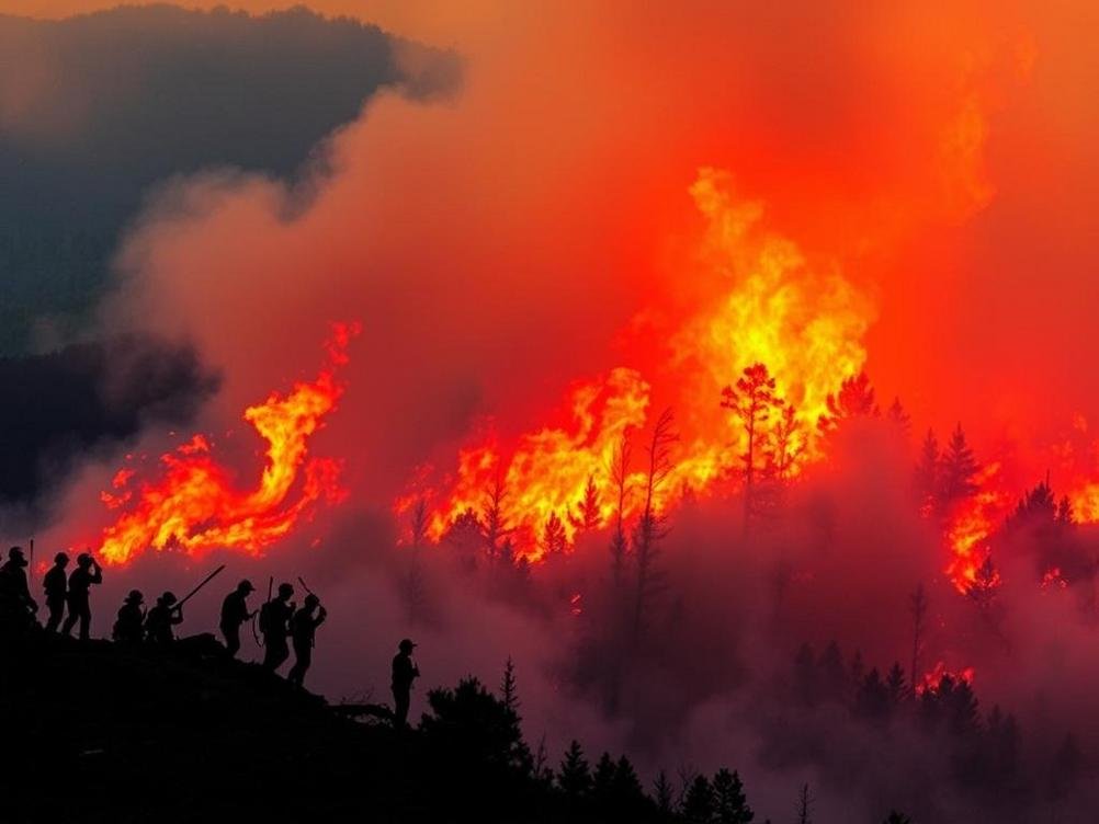
Picture this: it’s a scorching summer day, and somewhere in the vast forests of California, a tiny spark from a lightning strike ignites a patch of dry brush. Before you know it, that little flame could turn into a raging inferno, devouring thousands of acres and threatening homes, wildlife, and lives. We’ve all seen the headlines—wildfires seem to be getting bigger, fiercer, and more unpredictable every year. But what if we had a way to spot the danger zones before things get out of hand? Enter the world of AI-powered tools designed for near real-time, large-scale wildfire fuel mapping. Yeah, it’s as cool as it sounds. These aren’t just fancy gadgets; they’re game-changers in how we predict and prevent wildfires. Imagine satellites zipping overhead, crunching data with AI smarts to map out where the fuel—like dead trees, dry grass, and underbrush—is piled up and ready to burn. This tech isn’t science fiction; it’s happening right now, and it’s helping firefighters and land managers stay one step ahead. In this article, we’ll dive into what these tools are all about, why they’re a big deal, and how they’re making our world a safer place. Buckle up, because we’re about to explore how artificial intelligence is literally putting out fires before they start. And hey, if you’ve ever wondered why your camping trip got canceled due to fire risks, this might just explain it—and show how tech is working to keep those adventures possible.
What Exactly is Wildfire Fuel Mapping?
Okay, let’s break it down without getting too jargony. Wildfire fuel mapping is basically creating a detailed picture of all the stuff in a landscape that can catch fire and keep it going. Think of it like a treasure map, but instead of gold, it’s marking spots loaded with dry leaves, branches, and other flammable goodies. Traditionally, this was done by folks hiking through the woods with clipboards and GPS devices, which, let’s be honest, is about as efficient as trying to mow a football field with nail clippers. It takes forever, costs a ton, and by the time you’re done, the landscape might have changed.
Now, with AI stepping in, we’re talking near real-time updates over huge areas. These tools use satellite imagery, drone footage, and even ground sensors to feed data into smart algorithms. The AI crunches numbers faster than you can say “forest fire,” spitting out maps that show fuel loads, moisture levels, and potential hotspots. It’s like having a super-powered eagle eye that never blinks. For example, tools like those developed by researchers at places like NASA’s Jet Propulsion Laboratory are integrating machine learning to analyze vast datasets, making predictions that are scarily accurate.
And get this—it’s not just about mapping; it’s about understanding patterns. AI can learn from past fires, figuring out why some areas burn hotter than others. It’s a bit like how Netflix recommends shows based on what you’ve watched, but instead of binge-watching, it’s preventing binge-burning.
The Tech Behind the Magic: How AI Makes It Happen
At the heart of these tools is machine learning, a subset of AI where computers learn from data without being explicitly programmed. For wildfire mapping, they train on tons of images from satellites like Landsat or Sentinel, labeling what’s fuel and what’s not. Over time, the AI gets really good at spotting the difference between a harmless green meadow and a tinderbox waiting to explode.
One cool aspect is the “near real-time” part. Traditional methods might update maps every few months, but AI can process fresh data in hours or even minutes. Companies like Descartes Labs are pioneering this, using geospatial AI to monitor changes daily. Imagine firefighters getting an alert on their phones: “Hey, that dry patch in Sector 7 just got drier—better check it out.” It’s preventive medicine for the planet.
Plus, these tools scale up effortlessly. Covering a single state manually? Nightmare. But AI handles continents without breaking a sweat. It’s efficient, cost-effective, and, frankly, a lot safer for the humans involved—no more sending teams into risky zones just to take notes.
Real-World Wins: Stories from the Front Lines
Let’s talk success stories because theory is great, but results? Even better. In Australia, after those devastating 2019-2020 bushfires, AI mapping tools helped authorities identify high-risk areas for controlled burns. By mapping fuels accurately, they prevented smaller fires from turning into monsters. It’s like playing chess against nature and finally getting a few moves ahead.
Over in the US, the Forest Service has been testing AI-driven systems in places like the Sierra Nevada. One project used AI to map fuels across millions of acres, leading to better resource allocation. Firefighters could focus on the most dangerous spots, saving time and potentially lives. And statistics back it up: according to a study by the University of California, AI-enhanced mapping reduced prediction errors by up to 40% compared to old methods.
It’s not all smooth sailing, though. There was this one time in Colorado where an AI tool flagged a whole hillside as high-risk, only for rangers to find it was just a bunch of rocky outcrops misidentified. Oops! But that’s how tech improves—through trial and error, with a dash of human oversight.
Challenges and Hurdles: Not All Sunshine and Algorithms
Alright, let’s keep it real. AI isn’t a magic wand. One big challenge is data quality. Garbage in, garbage out, right? If satellite images are cloudy or outdated, the maps suffer. Researchers are working on that, integrating more data sources like weather APIs to fill in the gaps.
Another issue is accessibility. Not every rural fire department has the tech savvy or budget for these tools. It’s like giving a Ferrari to someone who drives a bicycle—cool, but they might need training wheels first. Organizations like the U.S. Forest Service are stepping up with partnerships to make this tech more user-friendly and affordable.
And don’t forget ethics. Who owns this data? Could it be misused for, say, insurance companies hiking rates in high-risk zones? It’s a slippery slope, but with proper regulations, we can navigate it.
Looking Ahead: The Future of AI in Wildfire Management
As climate change ramps up wildfire seasons, AI tools are evolving fast. Imagine integrating them with predictive analytics to forecast fire paths days in advance. Tools like those from IBM’s Watson are already experimenting with this, combining fuel maps with wind patterns and humidity data for ultra-precise warnings.
In the pipeline are even smarter systems using edge computing—processing data right on drones or sensors for instant insights. No more waiting for cloud servers; it’s all happening in the field. And with advancements in quantum computing on the horizon, who knows? We might map entire countries in seconds.
But the real excitement? Collaboration. Governments, tech companies, and environmental groups are teaming up. For instance, Google’s Earth Engine provides free access to satellite data, empowering developers to build custom AI mapping apps. It’s democratizing fire prevention, one pixel at a time.
Why This Matters to You (Yes, Even If You’re Not a Firefighter)
Beyond the tech geekery, these AI tools affect everyday life. If you live in a fire-prone area, better mapping means safer communities and lower insurance premiums. For nature lovers, it preserves forests and wildlife. And globally, reducing wildfires cuts down on carbon emissions, fighting climate change in a big way.
Think about it: wildfires release billions of tons of CO2 annually. By nipping them in the bud, we’re not just saving trees; we’re saving the planet. Plus, it’s a jobs creator—training folks in AI and data science for environmental roles. It’s a win-win, with a side of heroism.
Conclusion
Wrapping this up, AI-powered tools for near real-time wildfire fuel mapping are more than just innovative tech—they’re lifelines in our battle against increasingly destructive fires. From spotting hidden dangers to guiding prevention efforts, they’re proving that smart algorithms can make a real difference. As we face hotter, drier futures, embracing these tools isn’t optional; it’s essential. So next time you hear about a wildfire being contained quickly, tip your hat to the AI wizards behind the scenes. Let’s keep pushing for more innovation, better integration, and widespread access. After all, in the fight against flames, every bit of foresight counts. Stay safe out there, and maybe consider supporting local fire prevention initiatives—who knows, you might just help fuel the next big breakthrough.


Leave a Reply