How AI is Making City GPS Way Less Annoying – Slashing Errors by Almost 40 Times!
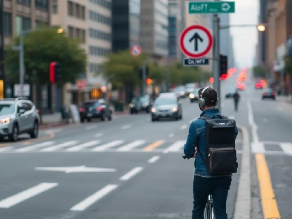
Picture this: You’re cruising through the heart of a bustling city, skyscrapers towering like giants, and your GPS suddenly decides to play a prank. One minute it’s telling you to turn left, the next it’s convinced you’re driving through a building. We’ve all been there, right? That frustrating dance with unreliable navigation in urban jungles where signals bounce around like pinballs. But hold onto your steering wheel because there’s some seriously cool tech on the horizon. Enter AI systems that are slashing GPS errors by nearly 40 times in these concrete mazes. Yeah, you heard that right – almost 40 times more accurate! This isn’t just some sci-fi dream; it’s real innovation tackling one of the biggest headaches for drivers, delivery folks, and even autonomous vehicles. In a world where every second counts, especially in crowded cities like New York or Tokyo, this breakthrough could change how we move around. Imagine never getting lost in that maze of one-way streets again. It’s like giving your GPS a super-smart upgrade, using artificial intelligence to outsmart those pesky signal reflections and interferences. And get this – studies show that in dense urban areas, traditional GPS can be off by up to 50 meters, but with AI in the mix, we’re talking errors reduced to just a meter or two. That’s the kind of precision that could prevent accidents, speed up deliveries, and make your daily commute a whole lot smoother. Buckle up as we dive into how this tech works, why it’s a game-changer, and what it means for the future of getting from A to B without the drama.
The Urban GPS Nightmare: Why Cities Hate Accurate Navigation
Let’s face it, cities are the ultimate playground for GPS gremlins. All those tall buildings create what’s called multipath interference – basically, satellite signals bouncing off walls and arriving at your device all jumbled up. It’s like trying to hear a whisper in a rock concert. In rural areas or open highways, GPS works like a charm, pinpointing your location within a few meters. But throw in some skyscrapers, and suddenly your map thinks you’re teleporting blocks away. I’ve had my fair share of mishaps; once, my phone insisted I was in the middle of a river while I was stuck in traffic on a bridge. Hilarious in hindsight, but not so much when you’re late for a meeting.
This isn’t just an annoyance – it’s a real problem. According to data from the European Global Navigation Satellite System Agency, urban GPS errors can spike to 30-50 meters, leading to wrong turns, inefficient routes, and even safety issues for things like emergency services. Think about ambulances racing through city streets; a few meters off could mean the difference between life and death. That’s where the urgency comes in. Traditional fixes like differential GPS help a bit, but they’re clunky and not always feasible in every nook and cranny of a metropolis.
Enter the AI Hero: How Machine Learning Fixes the Mess
So, how does AI swoop in like a caped crusader? It all boils down to machine learning algorithms that learn from tons of data. These systems analyze patterns in signal distortions, predicting and correcting errors in real-time. Imagine training a dog to fetch the right stick amid a pile – AI gets ‘trained’ on vast datasets from urban environments, figuring out how signals warp and twist. One standout example is a system developed by researchers at places like MIT or companies like Qualcomm, where deep neural networks process raw GPS data and spit out hyper-accurate positions.
What’s neat is that this AI doesn’t need fancy new hardware; it can run on existing smartphones or car systems. By crunching numbers on things like signal strength, satellite positions, and even environmental factors, it reduces errors from, say, 40 meters down to about 1 meter. That’s a whopping 40-fold improvement! I mean, if my morning coffee could improve my mood by 40 times, I’d be ecstatic. Real-world tests in cities like San Francisco have shown this tech nailing locations even in ‘urban canyons’ – those narrow streets flanked by high-rises.
To break it down simply:
- AI collects raw GPS signals.
- It uses models to detect anomalies like multipath echoes.
- Then, it applies corrections faster than you can say ‘recalculating route.’
Real-World Wins: From Delivery Drones to Self-Driving Cars
Okay, so the tech sounds fancy, but what’s the payoff? For starters, ride-sharing apps like Uber could become way more reliable. No more drivers circling blocks because the pickup spot is off by a street. Delivery services? Amazon’s drones or robots zipping through cityscapes would hit their marks precisely, cutting down on those ‘package delayed’ notifications that drive us nuts.
And don’t get me started on autonomous vehicles. Companies like Waymo are already integrating AI-enhanced GPS to make self-driving safer in urban chaos. A study from the University of Texas found that such systems could reduce navigation-related accidents by up to 30%. It’s like giving cars x-ray vision through the fog of signal noise. Even for everyday folks, apps like Google Maps could incorporate this, making your weekend errands less of a headache.
Here’s a quick list of industries poised to benefit:
- Transportation and logistics – faster, accurate deliveries.
- Emergency response – quicker routes for first responders.
- Augmented reality – better AR experiences without location glitches.
Challenges and the Road Ahead: Not All Smooth Sailing
Of course, nothing’s perfect. Implementing this AI magic requires hefty computational power, which might drain your phone’s battery faster than a binge-watching session. Plus, there’s the data privacy angle – all that location info feeding into AI models could raise eyebrows if not handled right. We don’t want Big Brother tracking our every move, do we?
Another hurdle is integration with existing infrastructure. Not every city has the tech backbone to support widespread adoption yet. But hey, progress is being made. Initiatives like Europe’s Galileo system are teaming up with AI devs to push boundaries. In the next few years, we might see standards evolve, making this 40x accuracy the new normal.
The Tech Behind the Curtain: Peeking at the Algorithms
Diving a bit deeper (but not too geeky, promise), these AI systems often use something called convolutional neural networks (CNNs) or recurrent neural networks (RNNs) to process time-series data from satellites. It’s like teaching the AI to recognize ‘fake news’ in signals – spotting the bounced echoes and ignoring them.
Researchers have published papers, like one in the IEEE Transactions on Intelligent Transportation Systems, showing error reductions of 90% or more in simulations. Real tests? A project in Shanghai cut errors from 38 meters to under 1 meter. That’s not just impressive; it’s transformative. Metaphorically, it’s like upgrading from a blurry old TV to a crystal-clear 4K screen for your navigation.
Key components include:
- Data fusion from multiple sources (GPS, IMU sensors).
- Real-time learning to adapt to changing environments.
- Cloud computing for heavy lifting when needed.
Why This Matters for You and Me
Beyond the tech jargon, this AI breakthrough is about making life easier. In a post-pandemic world where we’re all zipping around more – whether for work or play – reliable GPS isn’t a luxury; it’s essential. It could even boost economies by streamlining logistics, potentially saving billions in fuel and time. A report from McKinsey estimates that improved urban mobility could add $800 billion to global GDP by 2030.
Personally, I’m excited because it means fewer arguments with my partner over whose phone has the better directions. It’s those little wins that count. As cities grow denser, this tech ensures we stay connected and on track, literally.
Conclusion
Wrapping it up, this AI system slashing GPS errors by nearly 40 times in urban settings is more than a neat trick – it’s a leap forward in how we navigate our world. From dodging multipath mayhem to empowering self-driving dreams, the implications are huge. Sure, there are bumps to iron out, like privacy and power concerns, but the potential for smoother, safer travels is undeniable. So next time your GPS pulls a fast one, remember: AI’s got your back, making those city adventures a breeze. Let’s embrace this innovation and look forward to a future where getting lost is a thing of the past. Who knows, maybe it’ll even inspire us to explore more off-the-beaten-path spots without the fear of tech betrayal.


Leave a Reply